REGIONAL INDEX
PS-0011
THE PALE SILENCE
SIGNAL-ABSENT OBSERVATIONAL REGION
No measurable archive response has been verified. Environmental continuity remains unresolved.
CLASSIFICATION
Signal Null Region
TOPOLOGY
Feature-Reduced White Expanse
SIGNAL CONDITION
Undetectable / Suppressed
OBSERVER CONDITION
Extended exposure may produce perceptual isolation and reduced environmental reference.
ARCHIVE STATUS
Unresolved
KNOWN STRUCTURAL STATE
Undetermined

ENVIRONMENTAL DESCRIPTION
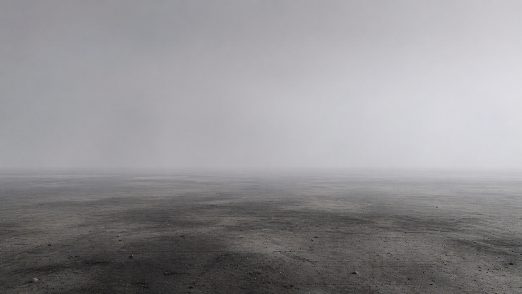
The Pale Silence presents as a vast, low-contrast terrain extending beyond documented survey boundaries.
Signal acquisition systems consistently return null or incomplete observations regardless of deployment duration.
Environmental features appear stable yet provide minimal navigational reference. Long-range observation frequently produces disagreement between recorded and perceived distance.
No verified structural origin or central formation has been documented.
TOPOLOGY / SIGNAL CONDITIONS
TPS-TOP-0001
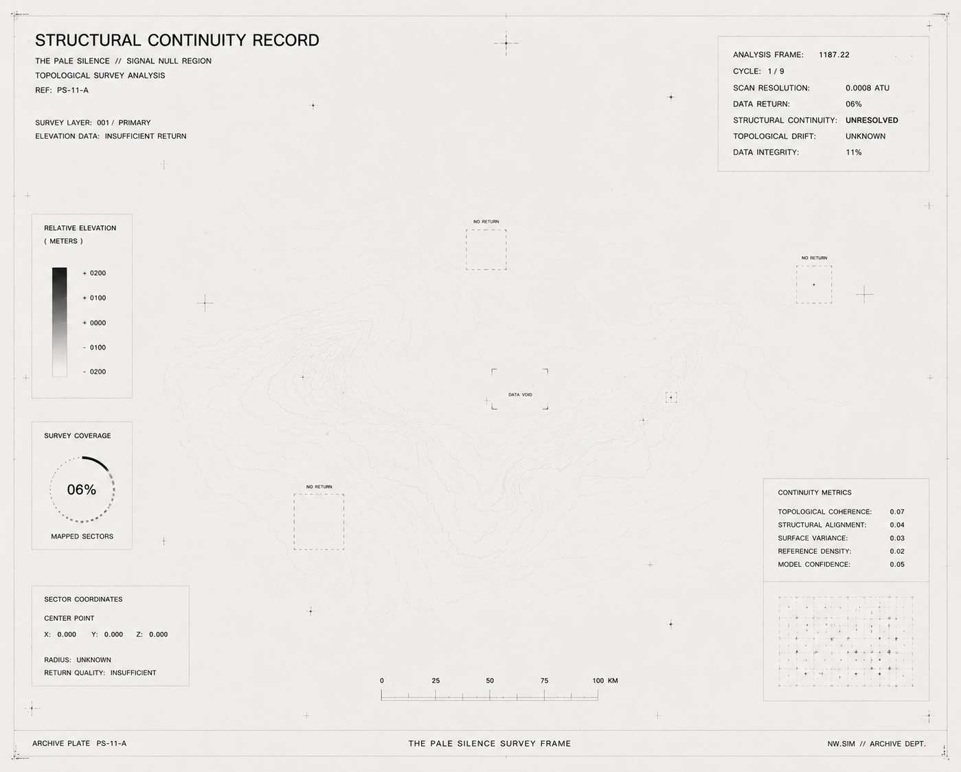
TOPOLOGY RECORD
No verified large-scale structural formations have been documented within surveyed sectors.
Terrain continuity appears stable yet provides insufficient reference for meaningful topological reconstruction.
Repeated survey operations continue to return incomplete environmental observations.
No central landmark, convergence point, or governing structure has been verified.
TPS-SIG-0001
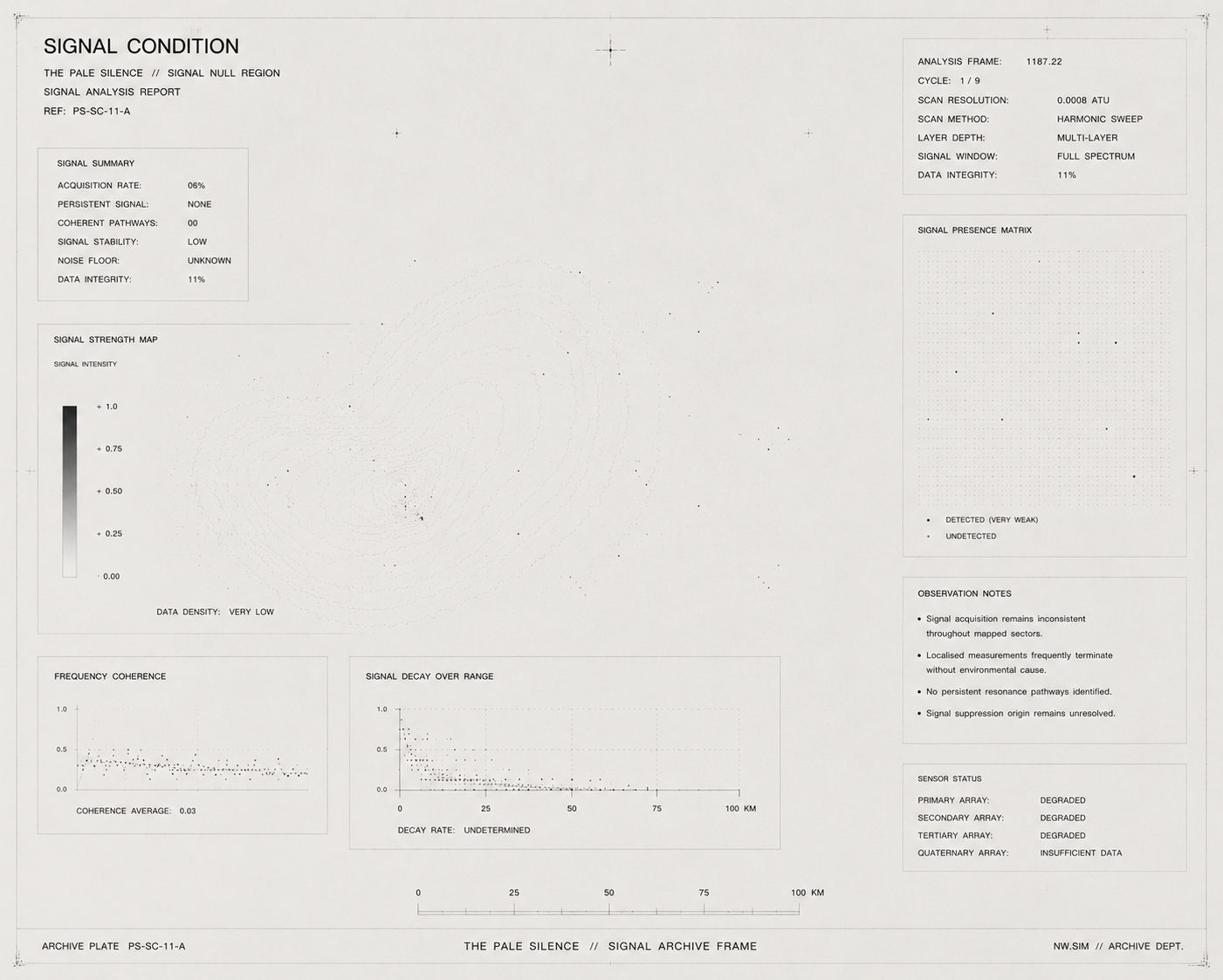
SIGNAL RECORD
Signal acquisition remains inconsistent throughout surveyed sectors.
Localised measurements frequently terminate without identifiable environmental cause.
No persistent resonance pathways or transmission structures have been verified.
The origin of signal suppression remains unresolved.
TPS-OBS-0001
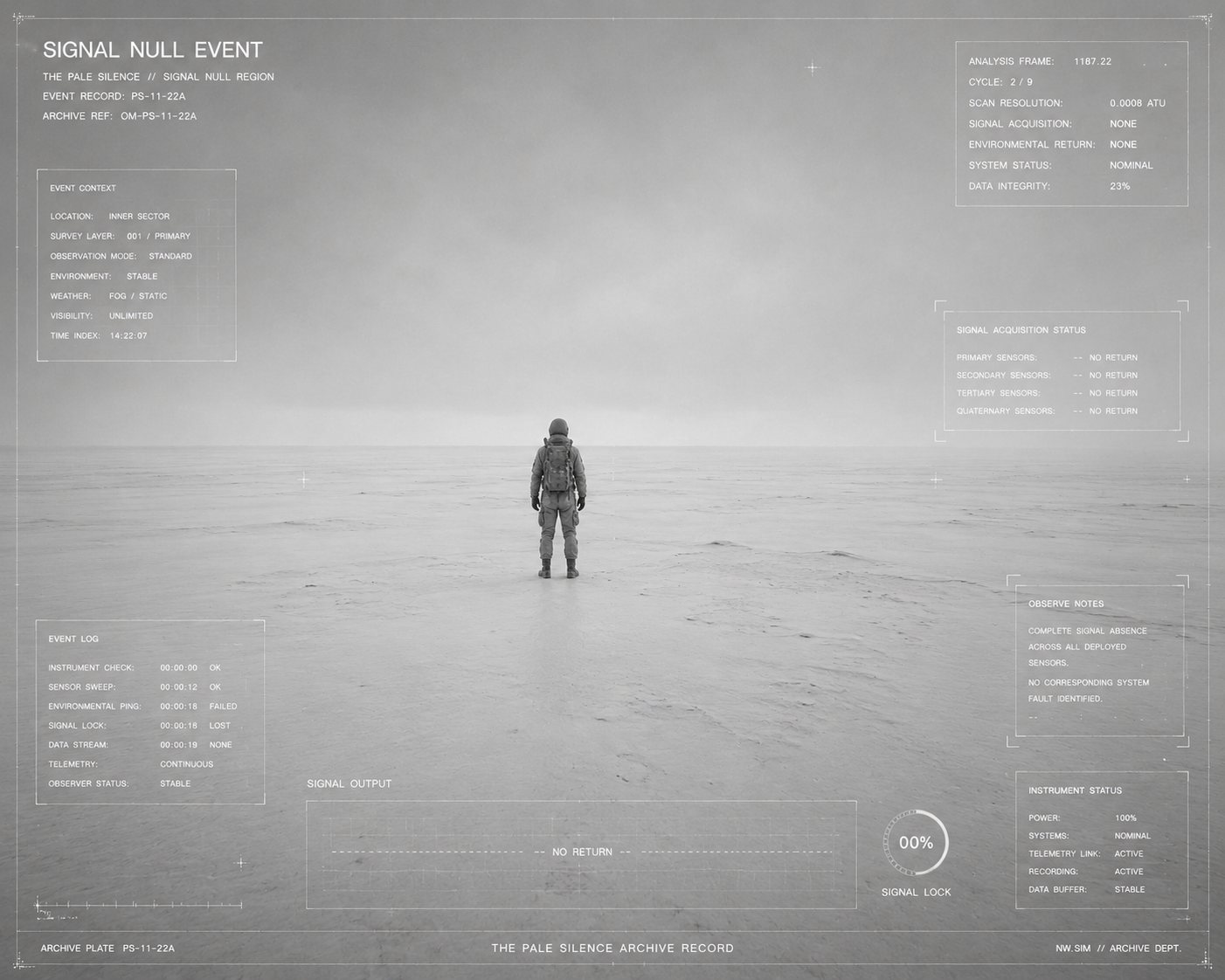
OBSERVATION RECORD
Multiple survey instruments simultaneously ceased environmental acquisition while remaining fully operational.
No corresponding system fault or instrumentation failure was identified.
Observer telemetry remained active despite complete signal absence across all deployed sensors.
Environmental conditions remained visually unchanged throughout the observation period.
ASSOCIATED ENTITIES
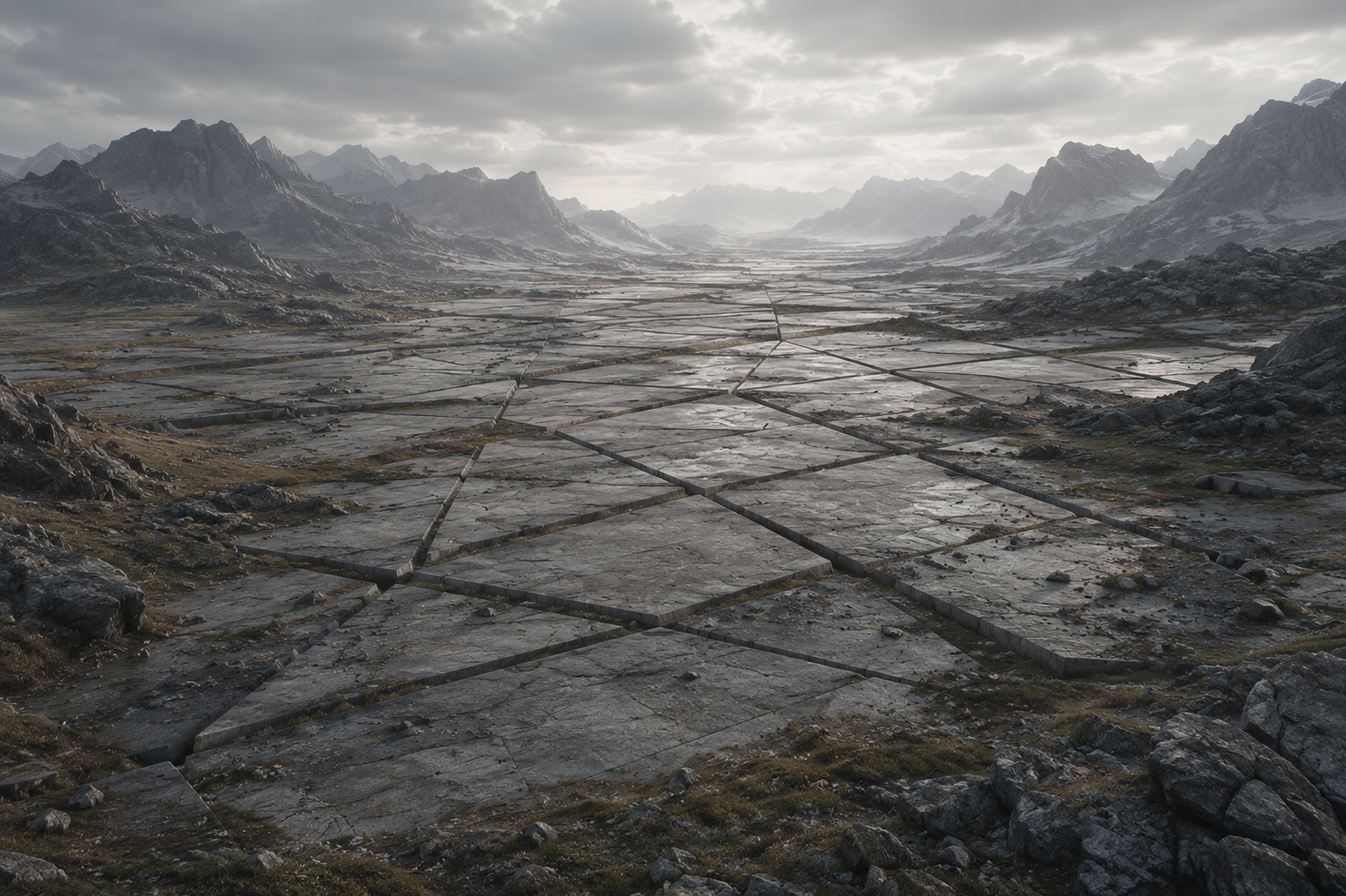
THE ARCHITECT
Verified Architect manifestations occur more frequently within Pale Silence sectors than archive models predict.
No communication events have been recovered.
Manifestations consistently terminate without measurable environmental disturbance.
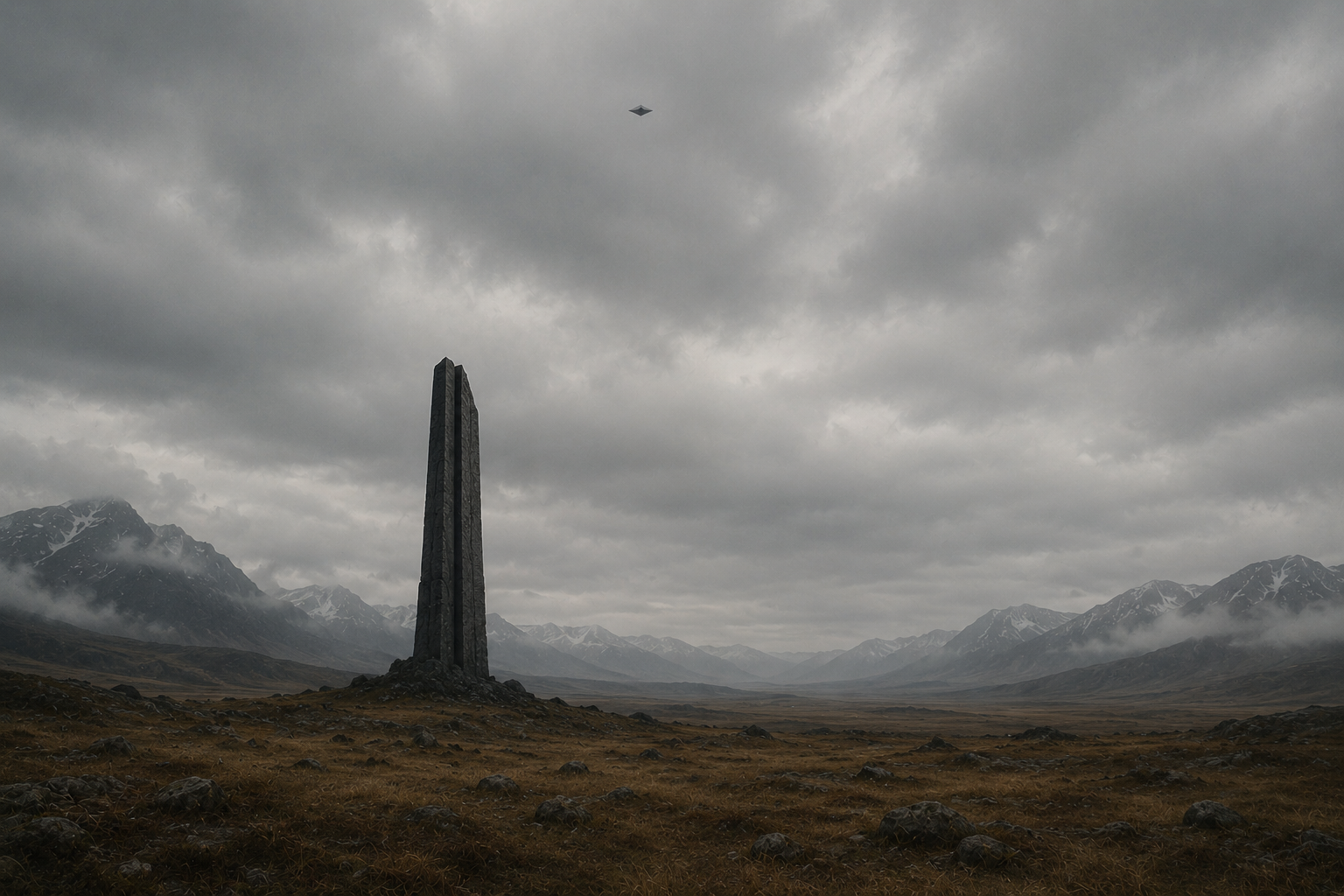
ARCHIVIST
Navigation records become incomplete beyond surveyed boundaries.
Multiple survey units continued transmitting after visual acquisition was lost.
Recovery status remains unresolved.
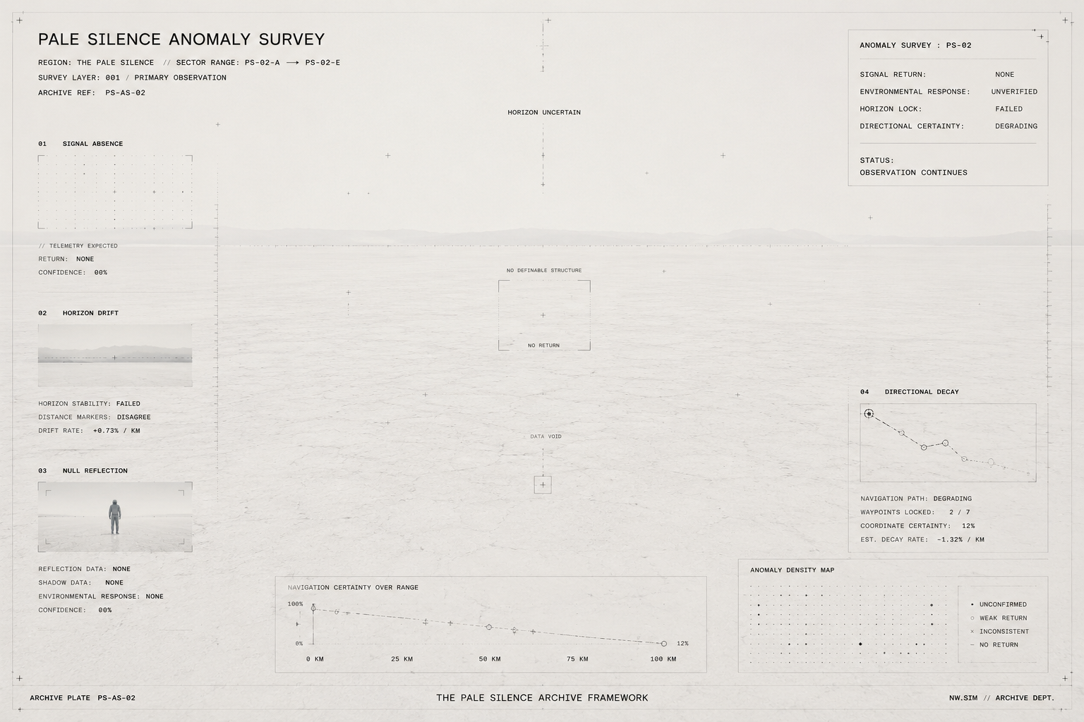
ANOMALY RECORDS
TPS-ANM-0001
SIGNAL ABSENCE
Expected telemetry failed to manifest during active survey operations.
No environmental cause could be verified.
TPS-ANM-0002
HORIZON DRIFT
Distant terrain remained visually stationary despite continued observer movement.
No measurable positional displacement could be confirmed.
TPS-ANM-0003
NULL REFLECTION
Environmental response failed to produce a verifiable return.
Repeated observation cycles yielded identical null results.
TPS-ANM-0004
DIRECTIONAL DECAY
Navigation certainty progressively degraded during continued traversal.
No stable directional reference could be recovered.
ARCHIVE RECORDS
TPS-OBS-0111
The horizon appeared closer after departure.
TPS-SRV-0002
Expected terrain features were never observed. Missing features remain unclassified.
TPS-RCV-0004
Observer certainty degraded before instrumentation failure.
DOCUMENT TYPES
OBS — Observation Record
SRV — Survey Record
RCV — Recovery Archive
ENT — Entity Encounter
ANM — Anomaly Record
SIG — Signal Record
ENVIRONMENTAL EVENTS
EVENT REGISTRY
TPS-EVT-0001
FIRST SILENCE RECORD
CURRENT STATUS
Restricted
ASSOCIATED RECORD
TPS-ER-0002
SUMMARY
Earliest confirmed signal-null observation.
TPS-EVT-0003
HORIZON OBSERVATION EVENT
CURRENT STATUS
Stable
ASSOCIATED RECORD
TPS-ER-0004
SUMMARY
Observer distance measurements failed verification.
TPS-EVT-0002
LOST SURVEY
CURRENT STATUS
Stable
ASSOCIATED RECORD
TPS-ER-0003
SUMMARY
Multiple archive surveys terminated simultaneously.
TPS-EVT-0004
RECOVERY ATTEMPT
CURRENT STATUS
Restricted
ASSOCIATED RECORD
Unavailable
SUMMARY
Recovery operations concluded without establishing whether any survey assets had been lost.

STATUS
Verified
INDEX
TPS-0011
REG-0000
REGISTRY
CONNECTED REGIONS
REG-0010
OBSIDIAN MOUNTAINS
────────
REG-0003
NEON PINNACLES
────────
REG-0013
BOUNDARY VERGE
DESCENT / EXIT